For forest owners and managers, state forest organisations, municipalities and managers of large land or infrastructure areas.
Illustrative workflow
Parcel 12 · failed regeneration
A · Replant same speciesrisk high
B · Protect + replantchosen
C · Change species mixslower
A situation from practice
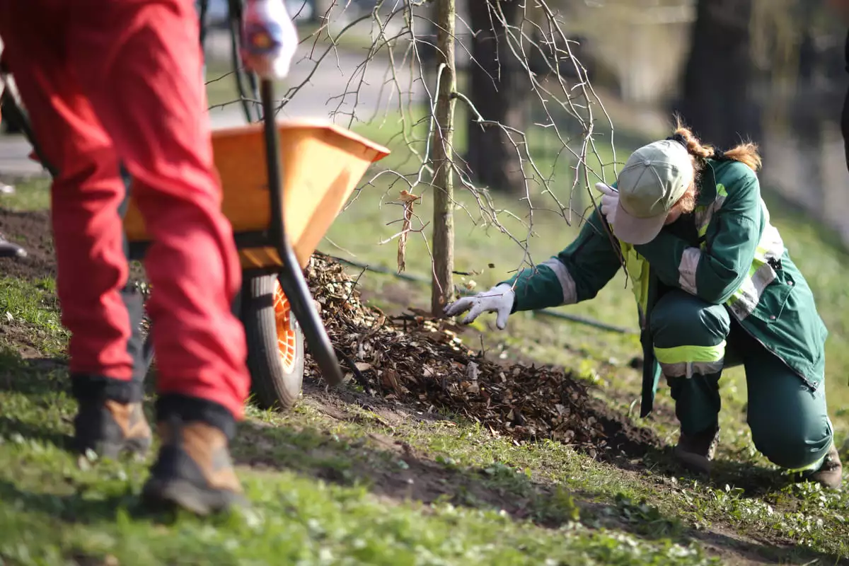
Planting is failing on part of a restoration site. Where do you replant, where do you change protection, and where do you choose a different approach?
Every option costs money and time. Waiting also has a cost: another season of failed regeneration and higher work later.
A · Replant
Replant the failed areas with the same species and the same approach.
B · Change protection
Fence the area or use individual guards where browsing is the cause, then replant.
C · Different approach
Change the species mix or rely on natural regeneration where conditions allow.
DigiTechForest helps you see which option fits which part of the site, and why.
How the system works
Seven steps from observation to learning
Each step has an input, an output and a person who uses it. The result is a recommendation and a check of what happened, not just another map.
SEESee stressed or failed areas
Input
Satellite and UAV imagery, field checks
Output
Map of problem areas
Used by
Forest manager
UNDERSTANDFind out why it is happening
Input
Soil, water, browsing, site history
Output
Likely cause for each area
Used by
Forester and ZERO expert
SIMULATECompare interventions
Input
Models and field experience
Output
2–3 scenarios: outcome, risk, time, cost
Used by
ZERO team with the manager
DECIDEChoose what, where and when
Input
The compared scenarios
Output
Chosen intervention and work plan
Used by
Owner or manager
ACTCarry out the work
Input
Work plan
Output
Intervention done and recorded
Used by
Field crew
MEASUREMeasure what happened
Input
Follow-up survey and imagery
Output
Result compared with the expectation
Used by
Forest manager
LEARNImprove the next decision
Input
Results across sites and seasons
Output
Better models and recommendations
Used by
ZERO and the manager
↻ Each result feeds the next decision.
What information it uses
Several data layers on one site
A satellite image shows where trees are stressed. Field measurements and site history explain why. Operational data shows what is feasible and what it costs. Only together do they change the decision.
Technical details support the decision. They are not the product.
SatelliteLarge-area change and stress over time
UAV (drone)Detail of individual parcels and failed areas
Field measurementsSurvival, height, damage, browsing
Site historyPrevious planting, interventions and events
GISParcels, terrain, soils, access
LaboratorySoil and plant material analysis where needed
Operational dataCrews, seasons, costs
→ DecisionCompared options for this site, with expected result and cost
Scenario comparison
Same site. Three interventions. One informed decision.
This is what you get from DigiTechForest: options you can compare side by side, with the expected result, risk, time and cost.
Scenario A
Replant the same species
Expected result
Moderate survival if the cause stays unchanged
Risk
High: repeats the failure if browsing is the cause
Time
Next planting season
Cost
Medium
Scenario B · recommended
Protect, then replant
Expected result
High survival where browsing is the main cause
Risk
Low to medium
Time
Next planting season
Cost
Higher upfront, lower repeat work
Scenario C
Change the species mix
Expected result
Better long-term resilience on drier parts
Risk
Medium: slower establishment
Time
2–3 seasons
Cost
Lower planting, more monitoring
Illustrative example. Real scenarios are calculated for your site from its data.
DigiTechForest grew out of our own field work. The same team that grows seedlings and plants trees works with researchers and developers on the system, so each recommendation can be carried out on the ground and checked afterwards.


 Illustrative workflow